


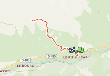

8.8 km | 13.6 km-effort

User


FREE GPS app for hiking
 SityTrail
IGN / Geographical institutes
SityTrail World
The world is yours!
Trail Walking of 7.5 km to be discovered at Provence-Alpes-Côte d'Azur, Hautes-Alpes, La Chapelle-en-Valgaudémar. This trail is proposed by Marco05.
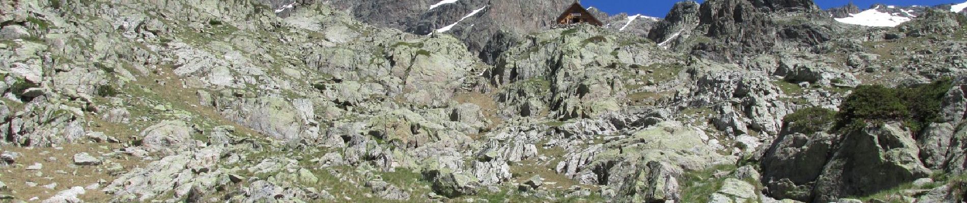
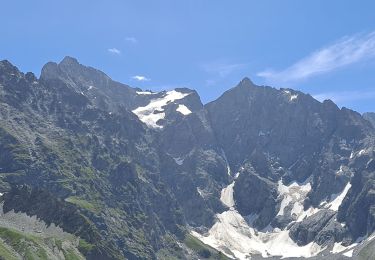
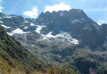
A mon avis, un des plus beaux endroits du Valgaudemar.
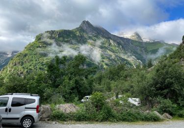
Le stationnement se situe au lieu dit "Le Rif du sap".
Attention, très peu de places, donc il faut arriver très tôt en période de congés.
Le chemin se situe sur la gauche, juste à côté de la caravane du berger.
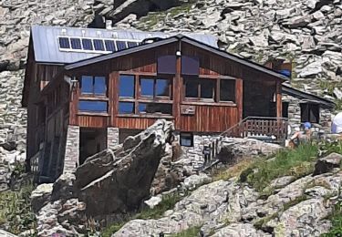
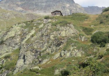
Pour coucher, il faut inscrire son nom sur le cahier, dans la boite au début du sentier.
Refuge non gardé, on paie dans des tirelires.
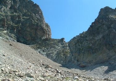
Randonnée qui demande une bonne expérience de la montagne.


Walking

Walking
Walking
On foot
On foot
On foot
Walking
Walking
Walking